



SOS Chuva

Description of SOS Chuva
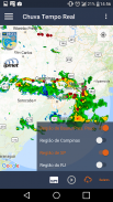
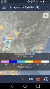
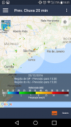
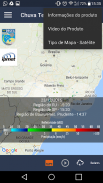
O aplicativo SOS Chuva, desenvolvido pelo INPE / CPTEC, permite:
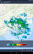
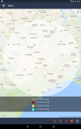
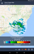
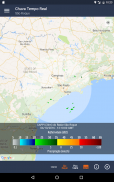
- visualizar, em tempo real, onde estão ocorrendo chuvas, cobrindo as regiões dos estados AL, BA, DF, MG, MS, PE, RJ, RN, RS, SC, SP.
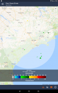
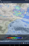
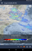
- visualizar imagem de satélite que cobre toda a América Latina.
- verificar a intensidade da chuva
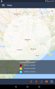
- acompanhar a evolução de sistemas convectivos
O aplicativo é parte do projeto temático CHUVA, financiado pela FAPESP. A base desta pesquisa é o radar de dupla polarização operando em Campinas, por 24 meses (duas estações chuvosas) para capturar eventos intensos de precipitação que forneçam as bases para o estudo dos processos físicos no interior das nuvens visando aprimorar a previsibilidade em curto prazo, a detecção de severidade e a estimativa de precipitação com radar e satélite em alta resolução temporal e espacial.
O Brasil comprou e ainda está ampliando a rede de radares de dupla polarização para monitorar eventos extremos de tempo. Contudo, o conhecimento sobre esse sistema é ainda incipiente e este projeto irá realizar pesquisa empregando esse tipo de instrumento, formar alunos nessa área e desenvolver ferramentas inéditas para uso deste instrumento.
Para mais informações sobre o projeto, acesse http://soschuva.cptec.inpe.br/
Veja nossa Política de Privacidade em http://satelite.cptec.inpe.br/repositorio9/documentos/apps/politica_privacidade_apps_cptec.pdf
The SOS Rain application, developed by INPE / CPTEC, allows:
- to visualize, in real time, where rains are occurring, covering the regions of the states AL, BA, DF, MG, MS, PE, RJ, RN, RS, SC, SP.
- view satellite image covering all of Latin America.
- check the rain intensity
- monitoring the evolution of convective systems
The application is part of the thematic project CHUVA, financed by FAPESP. The base of this research is the double polarization radar operating in Campinas, for 24 months (two rainy seasons) to capture intense precipitation events that provide the bases for the study of the physical processes inside the clouds in order to improve the predictability in the short term, the detection of severity and the estimation of precipitation with radar and satellite in high temporal and spatial resolution.
Brazil has bought and is still expanding the dual-polarized radar network to monitor extreme weather events. However, knowledge about this system is still incipient and this project will carry out research using this type of instrument, train students in this area and develop new tools to use this instrument.
For more information on the project, visit http://soschuva.cptec.inpe.br/
See our Privacy Policy at http://satelite.cptec.inpe.br/repositorio9/documentos/apps/politica_privacidade_apps_cptec.pdf


